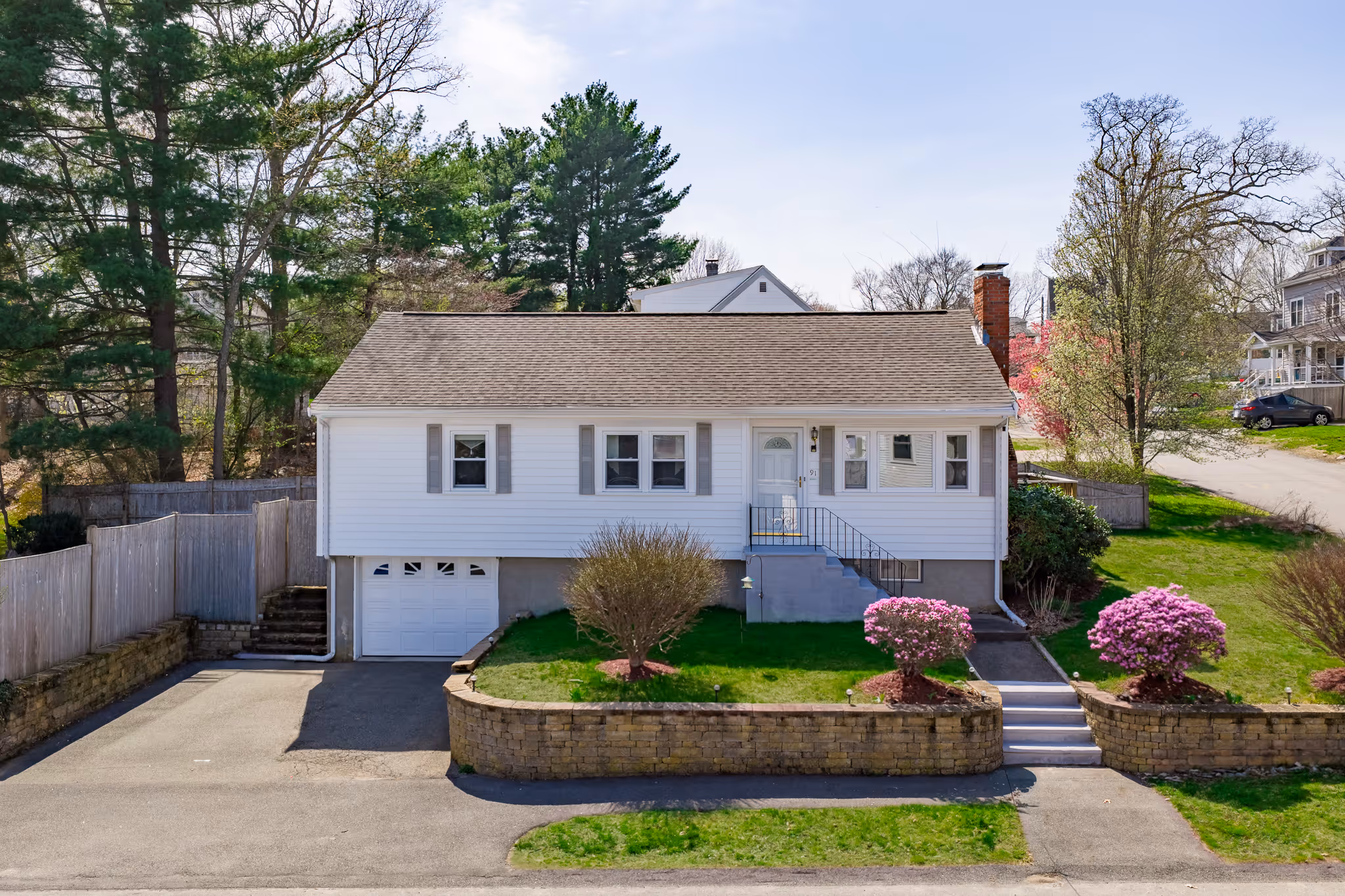
Drone Photography Service
Professional aerial photography that adds scale and context to your listing.
What’s Included
- 12 high-resolution drone photos
- Coverage of roofline, lot size, and surrounding area
- Edited and color-corrected images
- MLS-ready and print-ready files
- Licensed FAA Part 107 pilot
Ideal For
- Larger properties
- Homes with pools or landscaping
- Properties with location advantages
- Agents adding aerial coverage to photo packages
Shoot Details
- Clean overhead and angled aerial views
- Highlight layout and proximity
- Delivered ready for MLS and web use
Optional Add-Ons
- 30-second aerial video
- Property boundary overlays
- Additional drone images on request
Serving Boston, Cambridge, Somerville, Brookline, Newton, Quincy, Medford, Waltham, Arlington, Watertown, and surrounding areas.